Efficient agricultural logistics is central to food security and economic growth in Africa. Yet most supply chains are hampered by spatial fragmentation, poor visibility, and weak coordination across rural and urban nodes. The real bottleneck is not production, but the ability to move food efficiently from farms to markets.
When spatial coordination breaks down, food supply chains become highly vulnerable to shocks.
Location intelligence — integrating geospatial data with operational and strategic decision-making — provides the missing layer for system-level efficiency. Without it, logistics rely on guesswork, leading to higher costs, spoilage, and market inefficiencies.
These coordination failures reveal deeper structural weaknesses within African agricultural systems, where production and distribution often operate without integrated spatial intelligence.
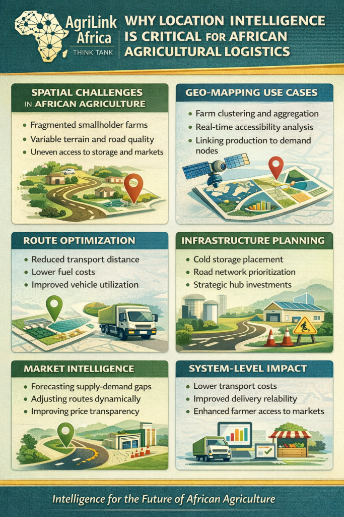
Spatial Challenges in African Agriculture
Agricultural production in Africa is geographically dispersed:
- Smallholder farms dominate, often scattered over rough terrain.
- Road quality varies significantly even over short distances.
- Storage, processing, and market facilities are unevenly distributed.
Traditional logistics planning assumes uniform access and distance, causing inefficiencies in transport, increased post-harvest losses, and inflated costs ISS, 2020.
In Ethiopia, for example, many smallholder maize and wheat producers operate in isolated locations with poor road connectivity, leading to delays in aggregation and market access FAO, 2018.
Geo-Mapping Use Cases
1. Farm Clustering and Aggregation
High-resolution spatial mapping identifies clusters of production, allowing logistics providers to:
- Optimize collection routes
- Position aggregation hubs strategically
- Reduce redundant travel and operational costs Springer, 2025
2. Real-Time Accessibility Analysis
By integrating road networks, terrain, and seasonal accessibility, planners can anticipate disruptions caused by rain, floods, or poor road conditions. This transforms logistics from reactive to proactive ResearchGate, 2021
3. Linking Production to Demand
Spatial coordination is a critical but often overlooked layer in agricultural value-chain design.
Spatial overlay of farm locations, markets, and storage facilities ensures that food reaches the right markets efficiently, rather than defaulting to the nearest location. This reduces price volatility and food loss IFPRI, 2019.
Route Optimization and Cost Reduction
Transport can constitute 30–50% of total food system costs in African supply chains. Location intelligence enables:
- Shortest-path routing
- Minimized idle time
- Optimized vehicle utilization
- Fuel savings
Even small improvements per route accumulate into system-wide efficiency gains. In Nigeria, applying spatial analytics to maize distribution reduced transport costs by nearly 12% while cutting spoilage rates in half AfDB, 2020.
Infrastructure Planning: Evidence Before Investment
For investors, spatial analytics reduces uncertainty and improves asset placement decisions.
Many logistics investments fail due to political rather than spatial prioritization. Location intelligence informs:
- Cold storage placement
- Road construction priorities
- Hub-and-spoke network design
This ensures infrastructure investments unlock real economic value, rather than symbolic development World Bank, 2021.
Market Intelligence and Spatial Analytics
Data-driven coordination transforms agriculture from reactive to predictive.
Location intelligence strengthens market transparency. By correlating spatial production patterns with market flows, systems can:
- Forecast supply-demand gaps
- Dynamically adjust routes and distribution
- Incentivize private logistics providers to serve under-connected regions IFAD, 2020.
Spatially informed networks turn fragmented supply chains into predictable, resilient systems.
System-Level Impact
Embedding location intelligence in agricultural logistics generates:
- Lower transport costs
- Reduced post-harvest losses
- Improved reliability of deliveries
- Evidence-driven infrastructure planning
- Enhanced smallholder market access FAO, 2020.
Conclusion: Spatial Intelligence Within African Agricultural Systems
African agriculture does not fail due to low production; it fails due to inefficient spatial coordination. Location intelligence provides the analytical layer needed to optimize logistics, reduce costs, and enhance resilience.
Food systems that integrate geospatial insights are more reliable, scalable, and economically viable, allowing African agriculture to fulfill its potential.
In essence:
Logistics without location intelligence is guesswork; logistics with spatial intelligence is systemically efficient.
AgriLink Africa Think Tank
Building intelligence-driven agricultural systems for Africa’s future
Abenezer Wondimagegn is the Founder & CEO of AgriLink Africa, a Research & Data Analyst, and Article Publisher. He specializes in Agriculture, Supply Chain, Logistics, Nutrition, E-commerce, and Business Investment. Through his work, he empowers farmers, strengthens food systems, and shares insights to drive innovation and sustainable growth in Ethiopia’s agricultural sector.

